Map of Tamworth station

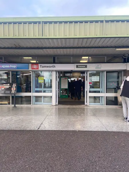
Photo: Michelle
Tamworth station
| Postcode | B79 7JT |
|---|
Transport
| Nearby stations | |
|---|---|
| Bus stops |
Railway Station (W)
The Albert PH (E)
Aldi Store (S)
Aldi Store (N)
Henley Close (NW)
Flora Close (NW)
|
| Station code (TLC) | TAM |
| Station code (NLC) | 1322 |
| Owner | West Midlands Trains (London Northwestern Railway) |
| National Rail Enquiries | |
Live Departures
Live Arrivals
Usage
Entries and exits
Interchanges
| Year | Entries and exits | Annual change % | Interchanges | Annual change % |
|---|---|---|---|---|
| 2024 | 1,030,316 | 9.1 % | 264,983 | 30.6 % |
| 2023 | 944,716 | 13.3 % | 202,840 | -3.1 % |
| 2022 | 834,014 | 256.6 % | 209,300 | 386.6 % |
| 2021 | 233,910 | -81.6 % | 43,012 | -89.1 % |
| 2020 | 1,270,702 | -0.7 % | 393,313 | 17.0 % |
| 2019 | 1,279,204 | 4.6 % | 336,213 | -3.6 % |
| 2018 | 1,223,106 | 2.0 % | 348,612 | -1.6 % |
| 2017 | 1,198,700 | 4.4 % | 354,324 | 1.1 % |
| 2016 | 1,148,686 | 9.0 % | 350,388 | 1.8 % |
| 2015 | 1,054,190 | 2.8 % | 344,300 | 8.6 % |
| 2014 | 1,025,700 | 6.5 % | 316,903 | 52.5 % |
| 2013 | 962,762 | 1.5 % | 207,803 | 17.2 % |
| 2012 | 948,292 | 1.9 % | 177,272 | 33.7 % |
| 2011 | 930,646 | 5.2 % | 132,568 | 3.2 % |
| 2010 | 884,504 | 10.7 % | 128,396 | 19.2 % |
| 2009 | 798,986 | 2.2 % | 107,713 | 31.9 % |
| 2008 | 782,032 | 1.9 % | 81,663 | -9.4 % |
| 2007 | 767,360 | 8.0 % | 90,090 | 5.4 % |
| 2006 | 710,594 | 8.4 % | 85,461 | -6.1 % |
| 2005 | 655,689 | 90,985 |
Note: Data is for financial years, so 2020 is April 2019 to March 2020
Geography
| Latitude | 52.637475 | |
|---|---|---|
| Longitude | -1.686465 | |
| Easting | 421315 | |
| Northing | 304460 | |
| Grid reference | SK213044 | |
| UTM reference | 30U 588886 5832753 | |
| what3words | ||
| Plus code | ||
| Distance away |
Postcodes
This map shows the postcodes where this station is the nearest to the postcode (as the crow flies)