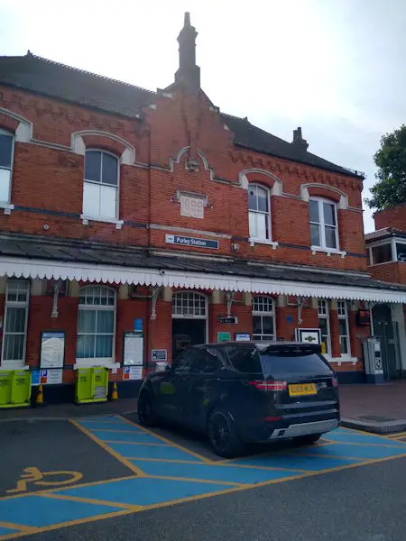
Map of Purley station, London

Purley station
| Postcode | CR8 2AP |
|---|
Transport
| Travel zone | 6 |
|---|---|
| Tube/Rail lines | |
| Next stations | |
| Nearby stations | |
| Bus stops |
Foxley Hill Road (N)
Foxley Hill Road (SE)
Purley Station Purley High Street (E)
Purley Downlands Precinct (S)
Purley High Street Purley Station (W)
Purley Downlands Precinct (NE)
|
| Station code (TLC) | PUR |
| Station code (NLC) | 5379 |
| Owner | Govia Thameslink Railway (Southern) |
| National Rail Enquiries | |
Live Departures
Live Arrivals
Usage
Entries and exits
Interchanges
| Year | Entries and exits | Annual change % | Interchanges | Annual change % |
|---|---|---|---|---|
| 2024 | 2,567,506 | 9.3 % | 575,040 | 4.7 % |
| 2023 | 2,348,100 | 26.0 % | 549,392 | 66.1 % |
| 2022 | 1,864,048 | 130.7 % | 330,739 | 136.3 % |
| 2021 | 807,900 | -72.7 % | 139,971 | -83.1 % |
| 2020 | 2,962,358 | -1.4 % | 829,220 | -2.2 % |
| 2019 | 3,004,052 | -2.3 % | 847,616 | 51.4 % |
| 2018 | 3,076,294 | 1.6 % | 559,814 | -1.8 % |
| 2017 | 3,029,276 | -9.6 % | 570,077 | -15.2 % |
| 2016 | 3,350,714 | 4.5 % | 672,185 | 11.7 % |
| 2015 | 3,205,666 | 4.6 % | 601,833 | -6.9 % |
| 2014 | 3,064,170 | 5.0 % | 646,536 | 4.3 % |
| 2013 | 2,917,722 | 5.9 % | 619,647 | 0.1 % |
| 2012 | 2,755,796 | 3.0 % | 618,976 | -23.0 % |
| 2011 | 2,675,454 | 3.8 % | 803,909 | 7.5 % |
| 2010 | 2,578,022 | 0.6 % | 748,045 | 13.2 % |
| 2009 | 2,563,738 | -6.3 % | 660,925 | 30.8 % |
| 2008 | 2,734,681 | 8.4 % | 505,170 | 0.6 % |
| 2007 | 2,523,920 | 33.5 % | 502,146 | 20.0 % |
| 2006 | 1,891,142 | -0.6 % | 418,627 | 12.3 % |
| 2005 | 1,902,437 | 372,891 |
Note: Data is for financial years, so 2020 is April 2019 to March 2020
Geography
| Latitude | 51.337577 | |
|---|---|---|
| Longitude | -0.114035 | |
| Easting | 531500 | |
| Northing | 161497 | |
| Grid reference | TQ315614 | |
| UTM reference | 30U 701015 5691320 | |
| what3words | ||
| Plus code | ||
| Distance away |
Postcodes
This map shows the postcodes where this station is the nearest to the postcode (as the crow flies)