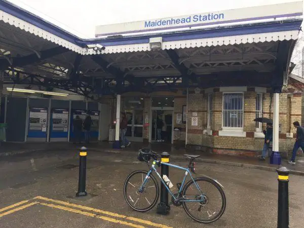
Map of Maidenhead station, London

Photo: Martin W
Maidenhead station
| Postcode | SL6 1EW |
|---|
Transport
| Travel zone | Outside zone 6 |
|---|---|
| Tube/Rail lines | |
| Next stations | |
| Nearby stations | |
| Bus stops |
Maidenhead Railway Station (NE)
Grenfell Place (W)
Maidenhead Railway Station (SW)
Maidenhead Station (N)
Railway Bridge (S)
Grenfell Place (E)
|
| Station code (TLC) | MAI |
| Station code (NLC) | 3147 |
| Owner | Great Western Railway |
| National Rail Enquiries | |
Live Departures
Live Arrivals
Usage
Entries and exits
Interchanges
| Year | Entries and exits | Annual change % | Interchanges | Annual change % |
|---|---|---|---|---|
| 2024 | 4,391,702 | 35.6 % | 585,270 | 39.0 % |
| 2023 | 3,239,874 | 34.4 % | 421,152 | 36.3 % |
| 2022 | 2,410,248 | 183.6 % | 309,061 | 229.4 % |
| 2021 | 850,006 | -81.8 % | 93,818 | -85.4 % |
| 2020 | 4,674,970 | -0.9 % | 644,460 | 6.5 % |
| 2019 | 4,717,360 | 2.9 % | 605,361 | 6.8 % |
| 2018 | 4,583,298 | -0.6 % | 566,804 | 16.5 % |
| 2017 | 4,609,112 | 3.4 % | 486,431 | -0.7 % |
| 2016 | 4,459,110 | 3.5 % | 490,082 | -2.7 % |
| 2015 | 4,307,576 | 2.5 % | 503,740 | 5.2 % |
| 2014 | 4,203,313 | 1.9 % | 478,937 | -1.4 % |
| 2013 | 4,125,274 | 4.1 % | 485,562 | 6.5 % |
| 2012 | 3,963,886 | 3.7 % | 455,817 | -6.3 % |
| 2011 | 3,822,868 | 6.2 % | 486,403 | 17.5 % |
| 2010 | 3,600,428 | -1.5 % | 414,115 | -14.3 % |
| 2009 | 3,654,592 | -0.7 % | 483,323 | 6.3 % |
| 2008 | 3,681,827 | 2.0 % | 454,722 | 25.3 % |
| 2007 | 3,609,303 | 6.8 % | 362,803 | 2.7 % |
| 2006 | 3,380,173 | 3.3 % | 353,139 | 3.4 % |
| 2005 | 3,272,122 | 341,503 |
Note: Data is for financial years, so 2020 is April 2019 to March 2020
Geography
| Latitude | 51.518668 | |
|---|---|---|
| Longitude | -0.722661 | |
| Easting | 488724 | |
| Northing | 180745 | |
| Grid reference | SU887807 | |
| UTM reference | 30U 658002 5709964 | |
| what3words | ||
| Plus code | ||
| Distance away |
Postcodes
This map shows the postcodes where this station is the nearest to the postcode (as the crow flies)