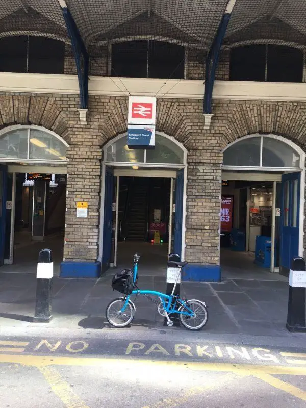
Map of Fenchurch Street station, London

Photo: Martin W
Fenchurch Street station
| Postcode | EC3M 4AJ |
|---|
Transport
| Travel zone | 1 |
|---|---|
| Tube/Rail lines | |
| Next stations | |
| Nearby stations | |
| Bus stops |
Fenchurch Street Station (W)
St Katharine Cree (E)
St Katharine Cree (W)
Great Tower Street (E)
Duke's Place (N)
Great Tower Street (W)
|
| Station code (TLC) | FST |
| Station code (NLC) | 7490 |
| Owner | c2c |
| National Rail Enquiries | |
Live Departures
Live Arrivals
Usage
Entries and exits
Interchanges
| Year | Entries and exits | Annual change % | Interchanges | Annual change % |
|---|---|---|---|---|
| 2024 | 10,446,678 | 2.3 % | 1,344,496 | 18.9 % |
| 2023 | 10,207,634 | 30.9 % | 1,130,771 | 45.1 % |
| 2022 | 7,795,346 | 143.6 % | 779,484 | 97.0 % |
| 2021 | 3,200,168 | -81.9 % | 395,750 | -59.3 % |
| 2020 | 17,717,236 | -4.3 % | 972,548 | 6.9 % |
| 2019 | 18,507,676 | 0.6 % | 909,441 | 2.4 % |
| 2018 | 18,398,554 | -0.7 % | 887,760 | -18.3 % |
| 2017 | 18,526,232 | 2.7 % | 1,086,258 | 77.2 % |
| 2016 | 18,044,598 | 2.5 % | 612,922 | -0.5 % |
| 2015 | 17,598,242 | -3.5 % | 616,232 | 12.7 % |
| 2014 | 18,244,526 | 8.3 % | 546,981 | 19.3 % |
| 2013 | 16,842,654 | -1.0 % | 458,517 | 32.9 % |
| 2012 | 17,021,142 | 2.1 % | 345,079 | 61.7 % |
| 2011 | 16,674,504 | 10.5 % | 213,413 | 9.8 % |
| 2010 | 15,093,655 | -3.7 % | 194,400 | 16.7 % |
| 2009 | 15,675,602 | -3.3 % | 166,576 | -32.1 % |
| 2008 | 16,210,539 | 6.7 % | 245,410 | 21.4 % |
| 2007 | 15,188,941 | -3.5 % | 202,181 | -1.9 % |
| 2006 | 15,746,318 | -2.1 % | 206,136 | -8.9 % |
| 2005 | 16,086,112 | 226,369 |
Note: Data is for financial years, so 2020 is April 2019 to March 2020
Geography
| Latitude | 51.511644 | |
|---|---|---|
| Longitude | -0.078897 | |
| Easting | 533434 | |
| Northing | 180932 | |
| Grid reference | TQ334809 | |
| UTM reference | 30U 702690 5710770 | |
| what3words | ||
| Plus code | ||
| Distance away |
Postcodes
This map shows the postcodes where this station is the nearest to the postcode (as the crow flies)